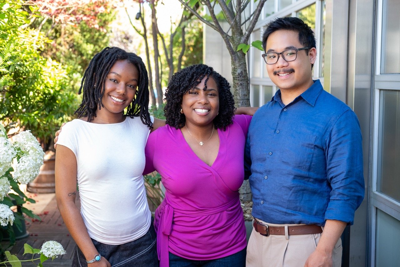
Meet Open Plans’ 2026 summer interns!
Meet Open Plans' 2026 summer interns—Cree, Liam, and Abigail. These three graduate students from NYU and Hunter College are joining us to work on everything from School Streets to Low Traffic Neighborhoods. They bike, ferry, and bus around the city with passion for making NYC streets safer and more joyful. Get to know the talented folks bringing fresh energy to our campaigns this summer.
60+ organizations are calling on the mayor to put $20M where his promises are
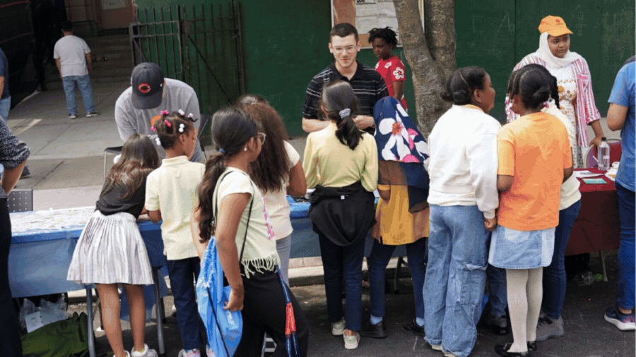
This week, 60+ school administrators, PTAs, and community groups from all five boroughs signed a letter calling on Mayor Mamdani to allocate $20 million to the School Streets program. Streets outside schools experience 57% more crashes and 25% more injuries than other city streets, yet only 71 schools currently participate despite thousands in NYC. The community is holding the mayor to his campaign promise of school streets citywide.
Safety is non-negotiable & the 72nd St redesign shouldn't be either!
Community Board 7 votes tonight (Tuesday, June 2 at 6:30 PM) on a resolution supporting West 72nd Street safety improvements, including a protected bike lane. Safety is non-negotiable for everyone—whether you walk, bike, or drive. Attend in person, sign up to speak in 60 seconds, and wear green to show board members there's broad community support for these essential changes.
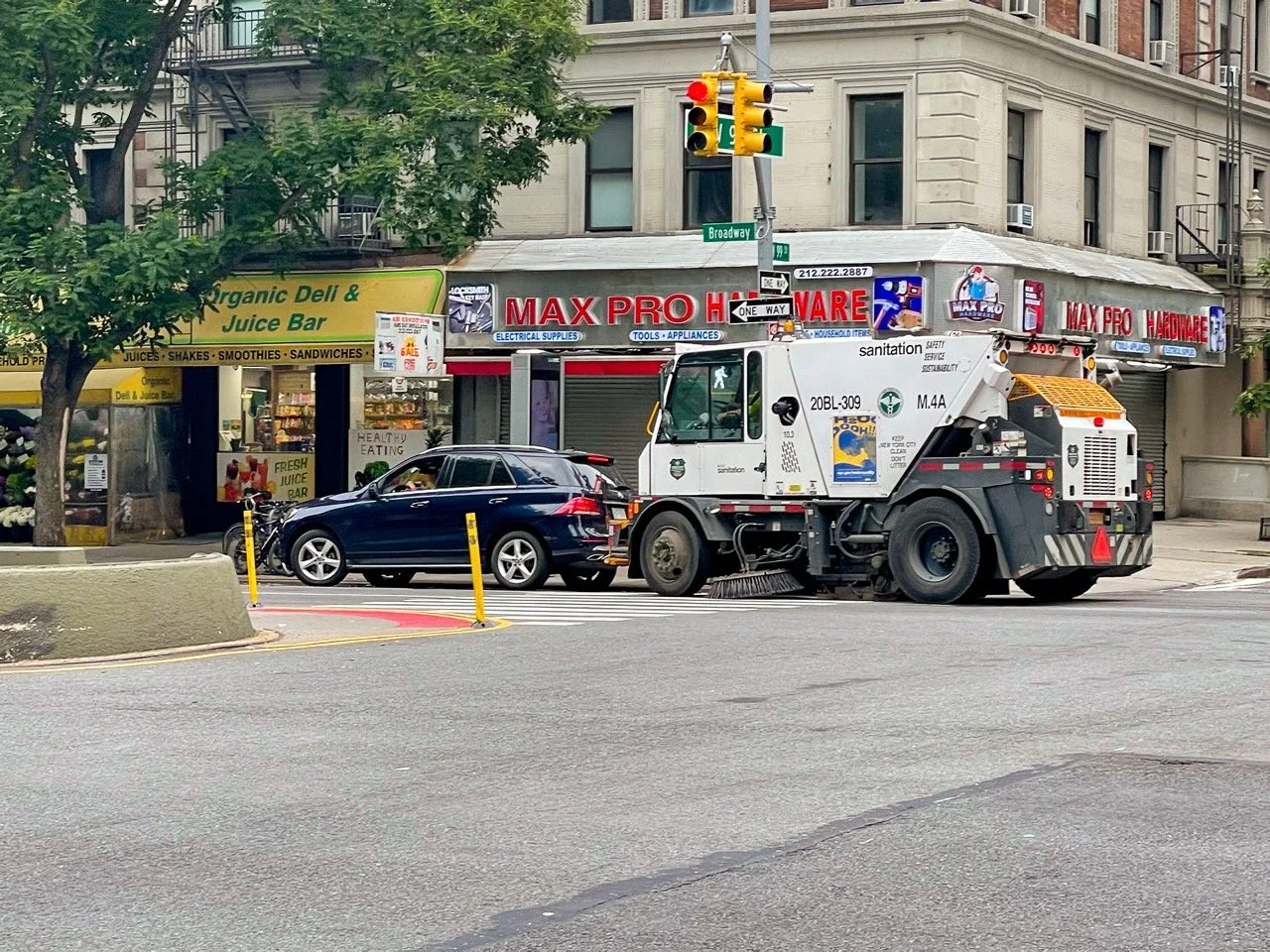
Turns out dirty streets and parking scofflaws have the same fix
Street sweepers could soon do double duty in NYC — cleaning streets and ticketing illegally parked cars. The City Council just passed a Home Rule resolution asking Albany to make it happen. Programs like this have slashed parking violations by 66% elsewhere. If Albany acts, cleaner, better-enforced streets could be coming to every neighborhood.
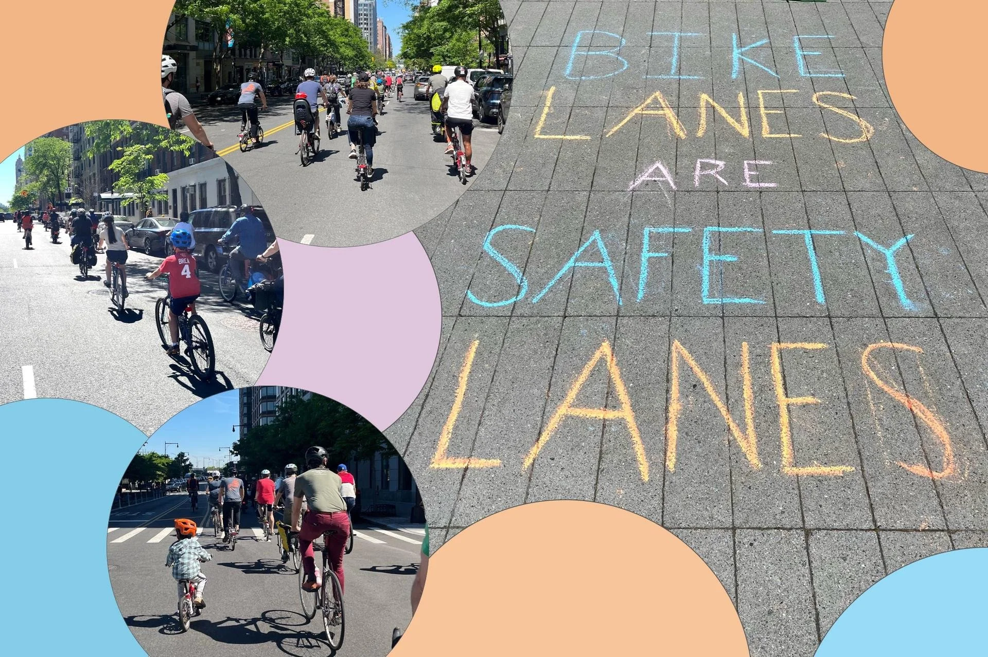
Every month should be bike month 🚲
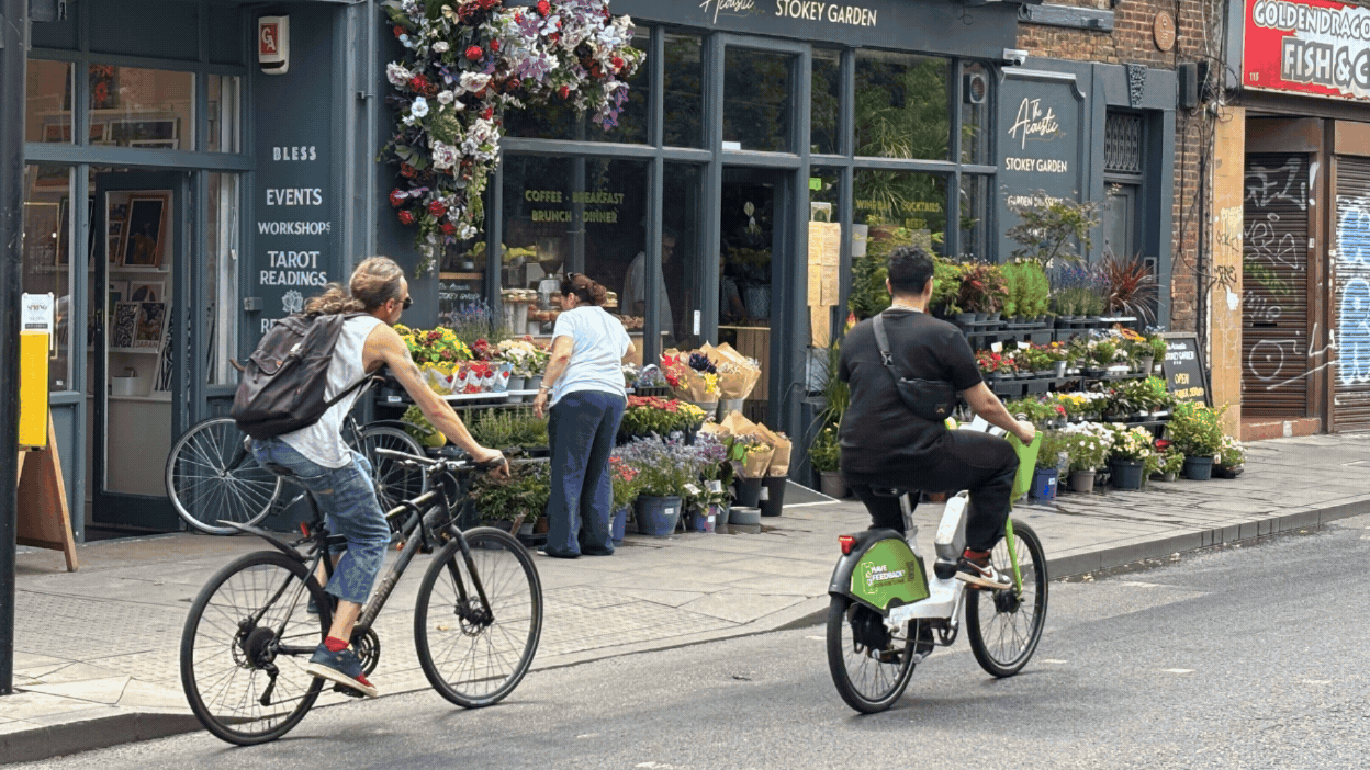
May is Bike Month, and as more New Yorkers take to the streets on bicycles, our work on Low Traffic Neighborhoods feels especially urgent. LTNs reduce cut-through traffic and prioritize local access, creating calm streets where it's easier to walk and bike without needing protected infrastructure. The data shows streets inside LTNs see an average 46.9% traffic reduction, with cycling increases up to 51%. Tell your city officials it's time to bring LTNs to NYC.
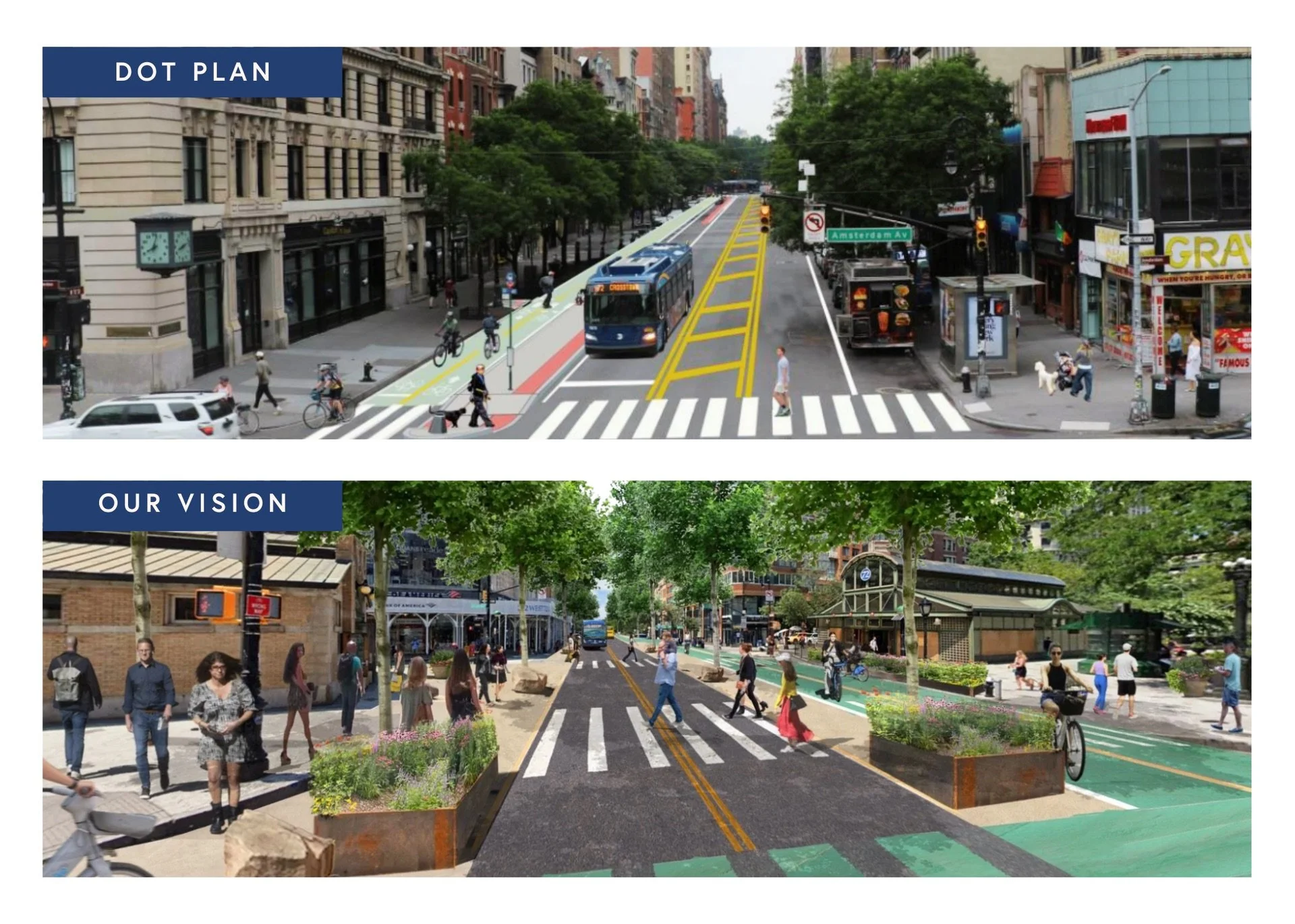
A people-first redesign is finally coming to West 72nd Street!
After years of advocacy, change is finally coming to West 72nd Street. NYC DOT announced improvements for the four blocks from Central Park West to Riverside Drive, including a two-way protected bike lane, pedestrian safety upgrades, bus improvements, and better curb management. The design has the bones of our complete street vision and will benefit everyone who uses the street.
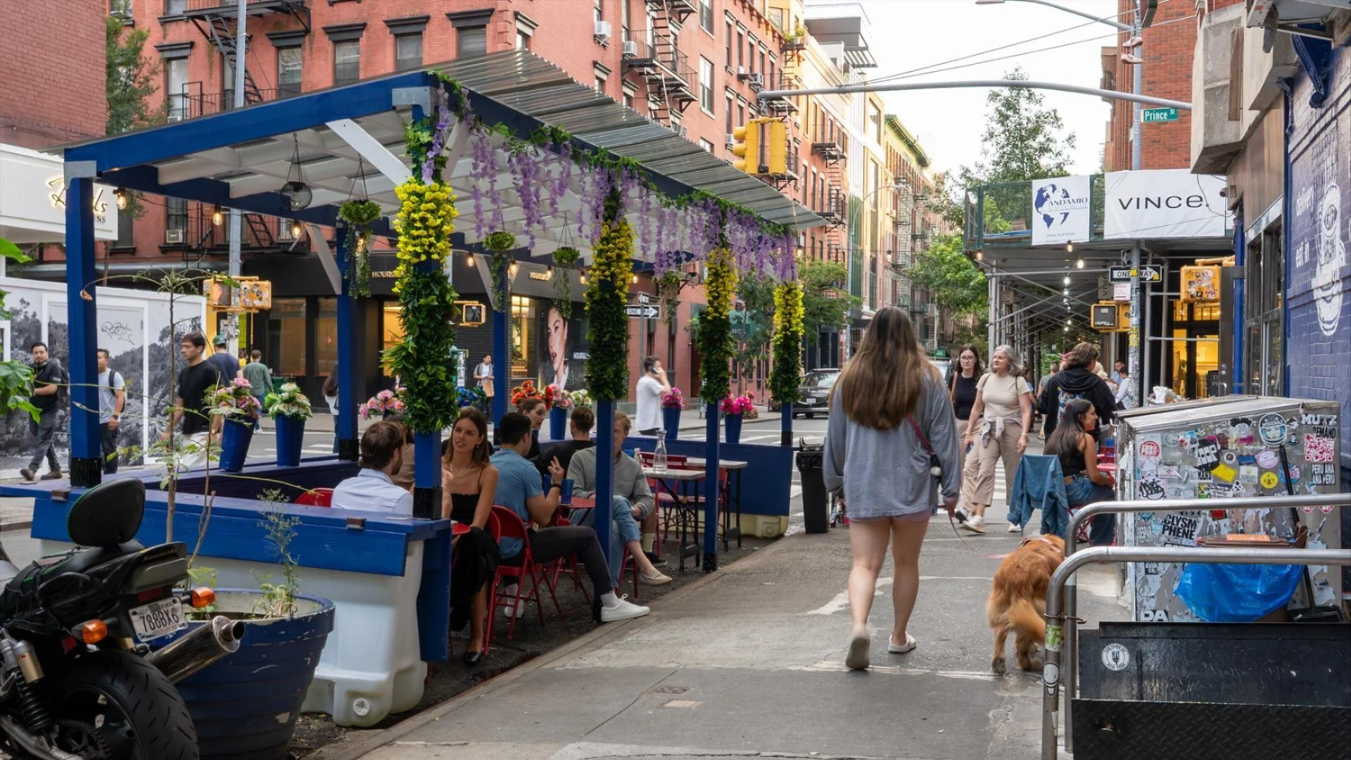
Access to outdoor dining isn't equal for everyone - let's change that!
The new outdoor dining season is here, but access isn't equal citywide. Many small businesses can't afford to participate due to burdensome applications, unclear fees, and seasonal storage costs that disproportionately impact outer borough and lower-income communities. Intro 655 supports year-round outdoor dining and streamlines the application process, making it easier for more restaurants to participate. Send a letter to your elected officials in support.
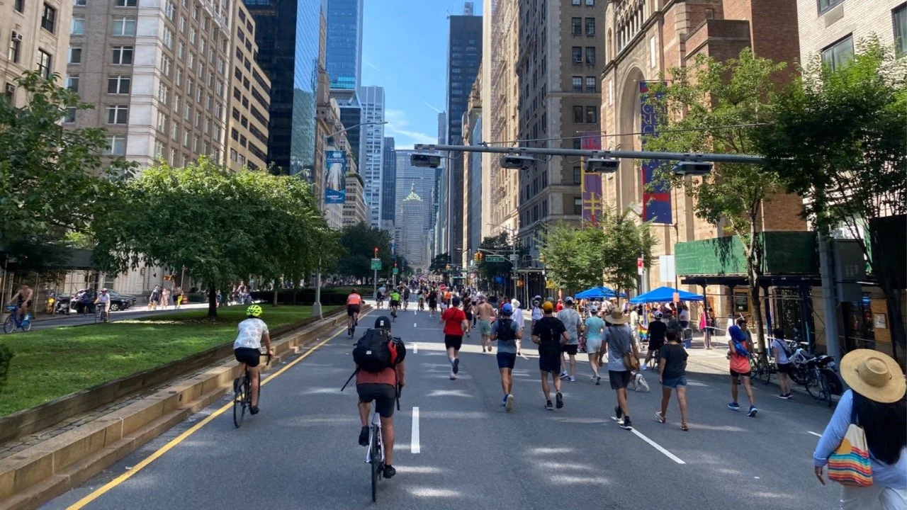
Summer is right around the corner and so are Summer Streets!
Spring is here and Summer Streets will be back before we know it—this year with support from elected officials asking DOT to expand the popular program with more dates and an interconnected web of car-free streets citywide. We want to hear from you about what makes Summer Streets great and how to improve them. Take our survey to share how you use Summer Streets and send a letter to your councilmember asking for Summer Streets programming in your neighborhood.
NYC's budget reflects what we care about. So let's fund School Streets for all!
School Streets close off traffic during the school day, creating calmer, safer blocks with less air pollution and more space for kids to learn and play. But the program relies on school staff to manually lift heavy barricades and navigate red tape. As Mayor Mamdani refines his first budget, dedicated School Streets funding could help the program grow equitably across the city, supporting staff and bringing safer streets to more schools.
The snow cannot stop us!! ❄️ Virtual lobby day!
A blizzard kept the Open Plans team downstate, but our Albany advocacy continued virtually with meetings across a dozen legislators' offices. We discussed priorities including automated curb enforcement in New York City, a key policy that would make streets safer and more efficient for drivers, pedestrians, delivery workers, and cyclists by enforcing traffic laws at our curbs. Show your representatives you support better curbs by sending them a letter.
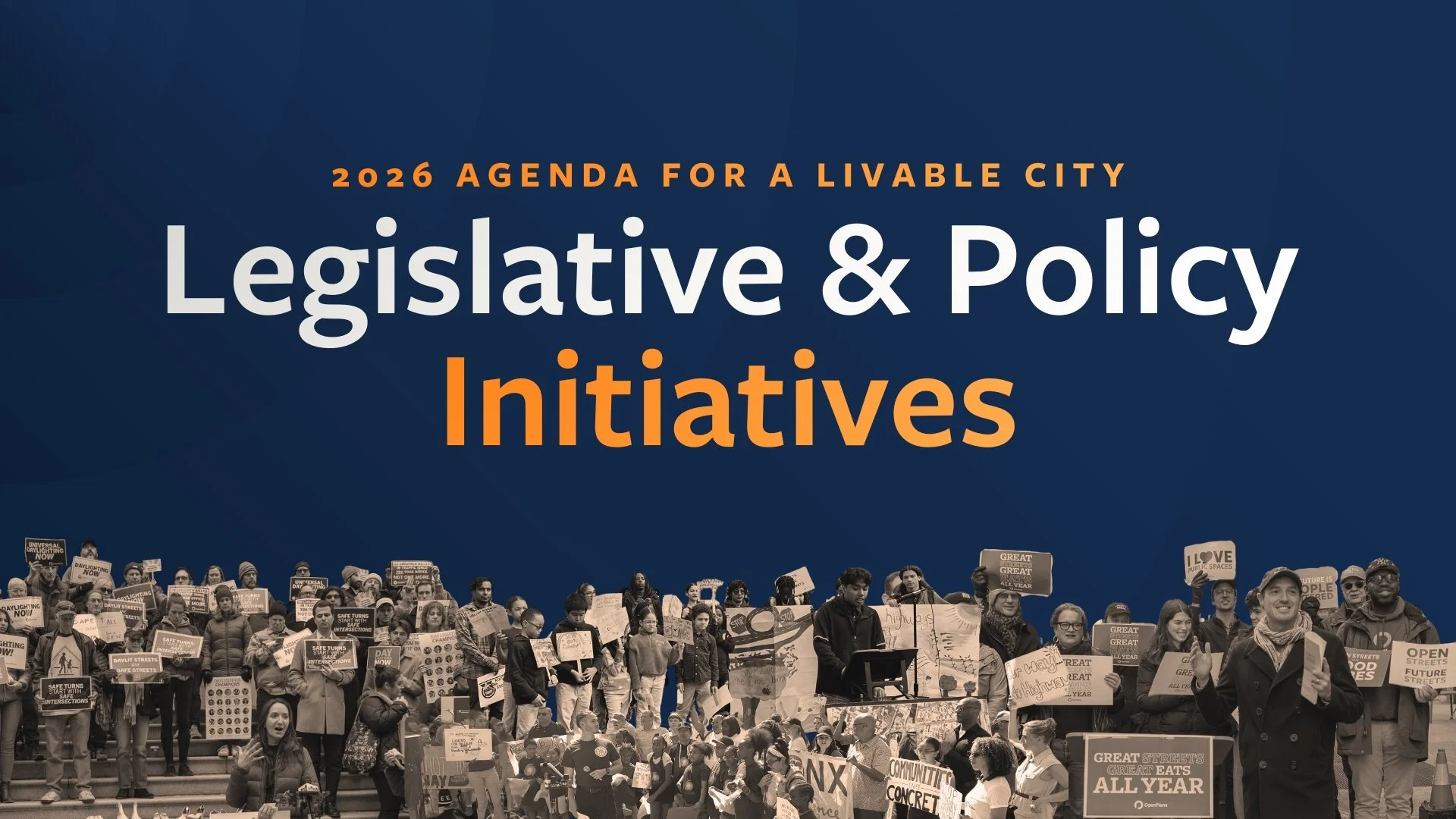
Open Plans' 2026 Agenda for a Livable City is out!
Our 2026 Agenda for a Livable City is here with policies to make New York's public spaces more vibrant and people-centered. Priorities include year-round outdoor dining for all businesses, automated curb enforcement, an equitable School Streets program with dedicated funding, and low-traffic neighborhood pilots in every borough—building on recent victories and reflecting progress made through sustained partnership across the city.
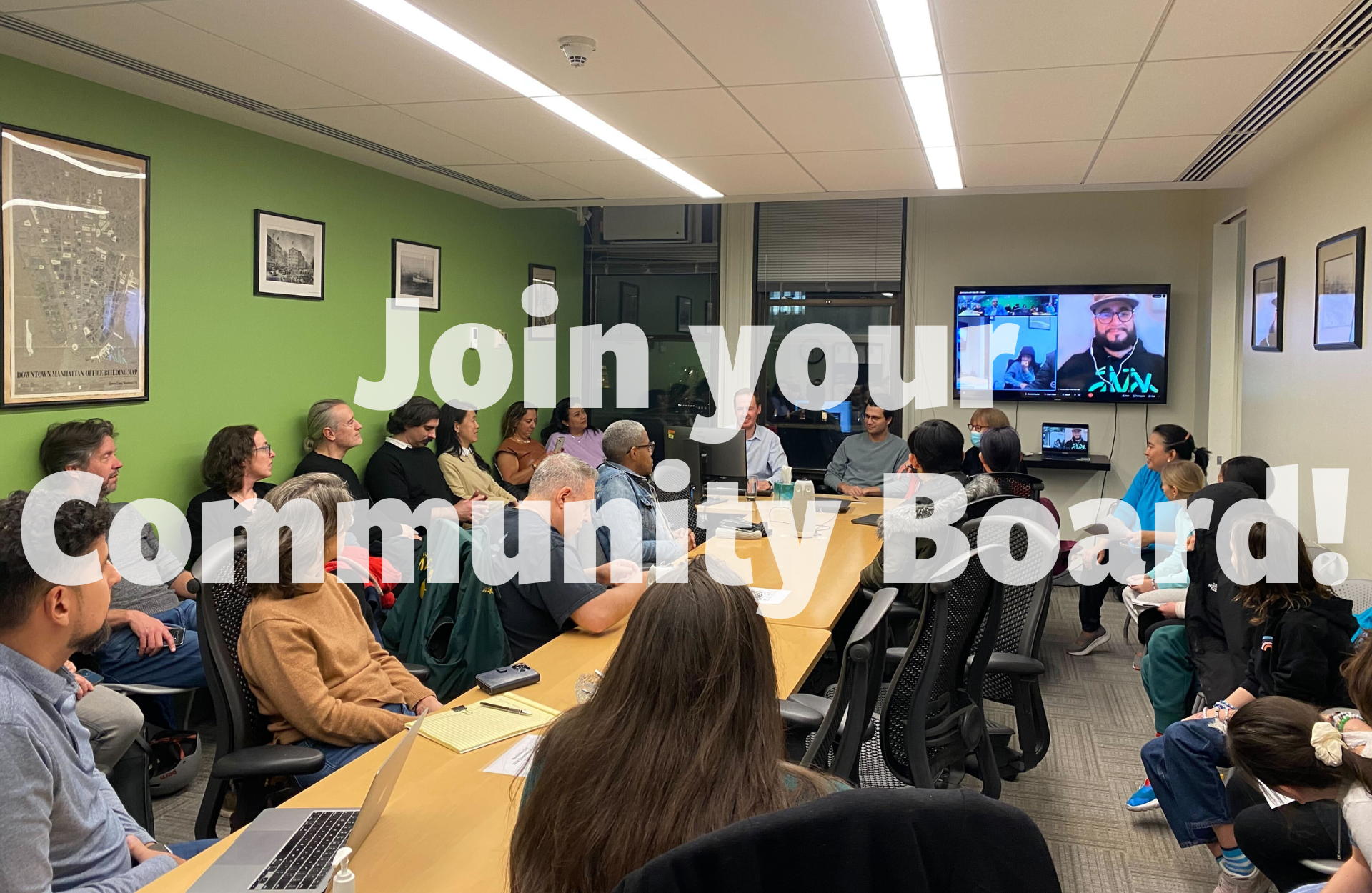
Want to make a difference? Start in your own community!
Community Board applications are open across New York City with deadlines approaching fast—Brooklyn (Feb 6), Queens (Feb 13), Manhattan (Feb 27), and Bronx (Mar 9). These local advisory boards give you the chance to hear from city agencies, weigh in on local initiatives, and advocate for your community. Join our webinar on January 29 or attend our Brooklyn and Queens social hours to learn more about the application process.
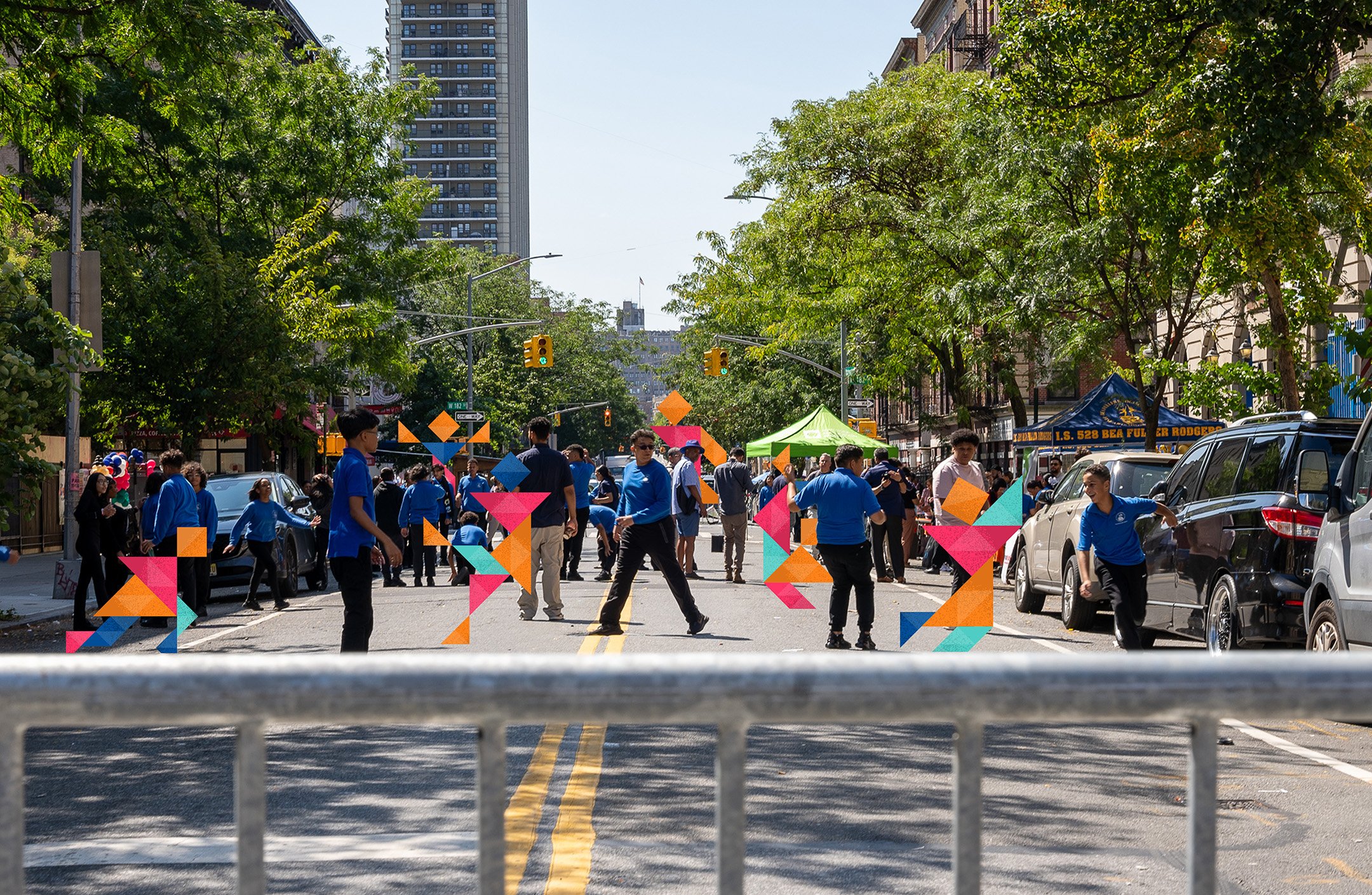
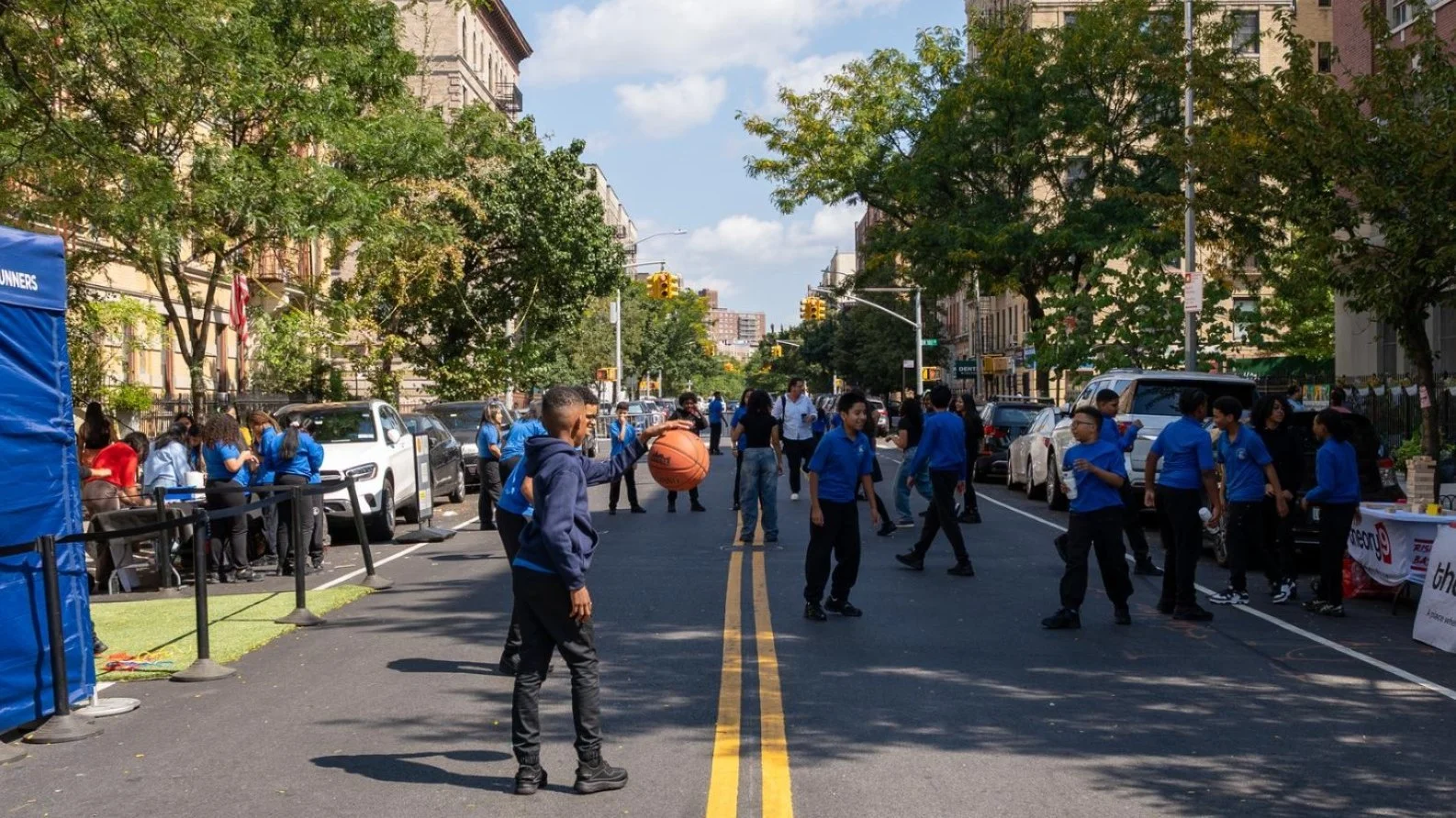
School's out in the streets!
Our new report "School's Out in the Streets!" offers a roadmap for expanding school streets citywide. Based on our work with partner schools, it shares best practices from three case studies and policy recommendations for the Mamdani administration's first 100 days—showing how permanent infrastructure, dedicated funding, and staffing support can transform this promising program into School Streets for All.
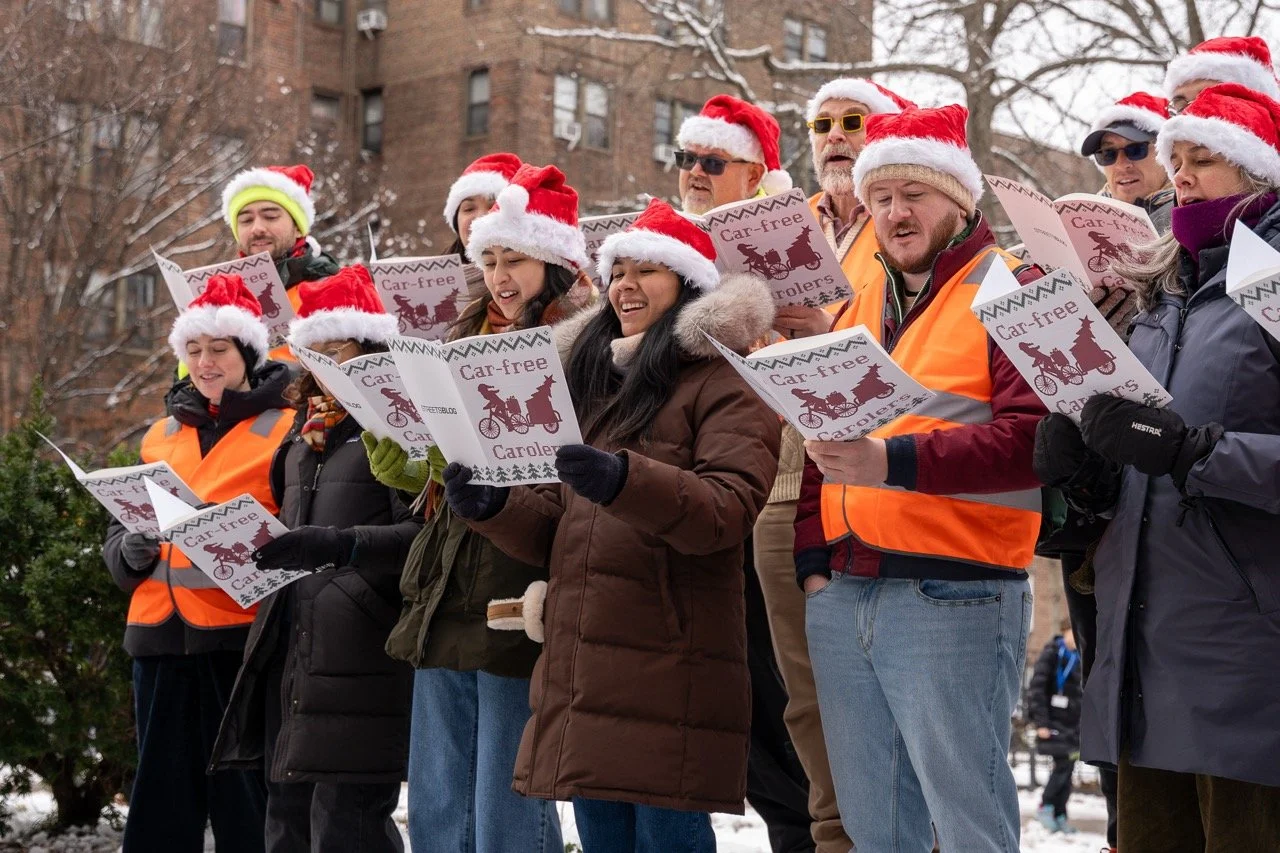
No Cars, Just Carols
The Car-Free Carolers returned to 34th Avenue Open Street in Jackson Heights on December 15th, transforming holiday classics into songs about safe streets and urban utopias. Using humor and music, the performers made a serious point: streets can become great places for people, not just traffic and tailpipes. Check out their performances that envision a car-free future.
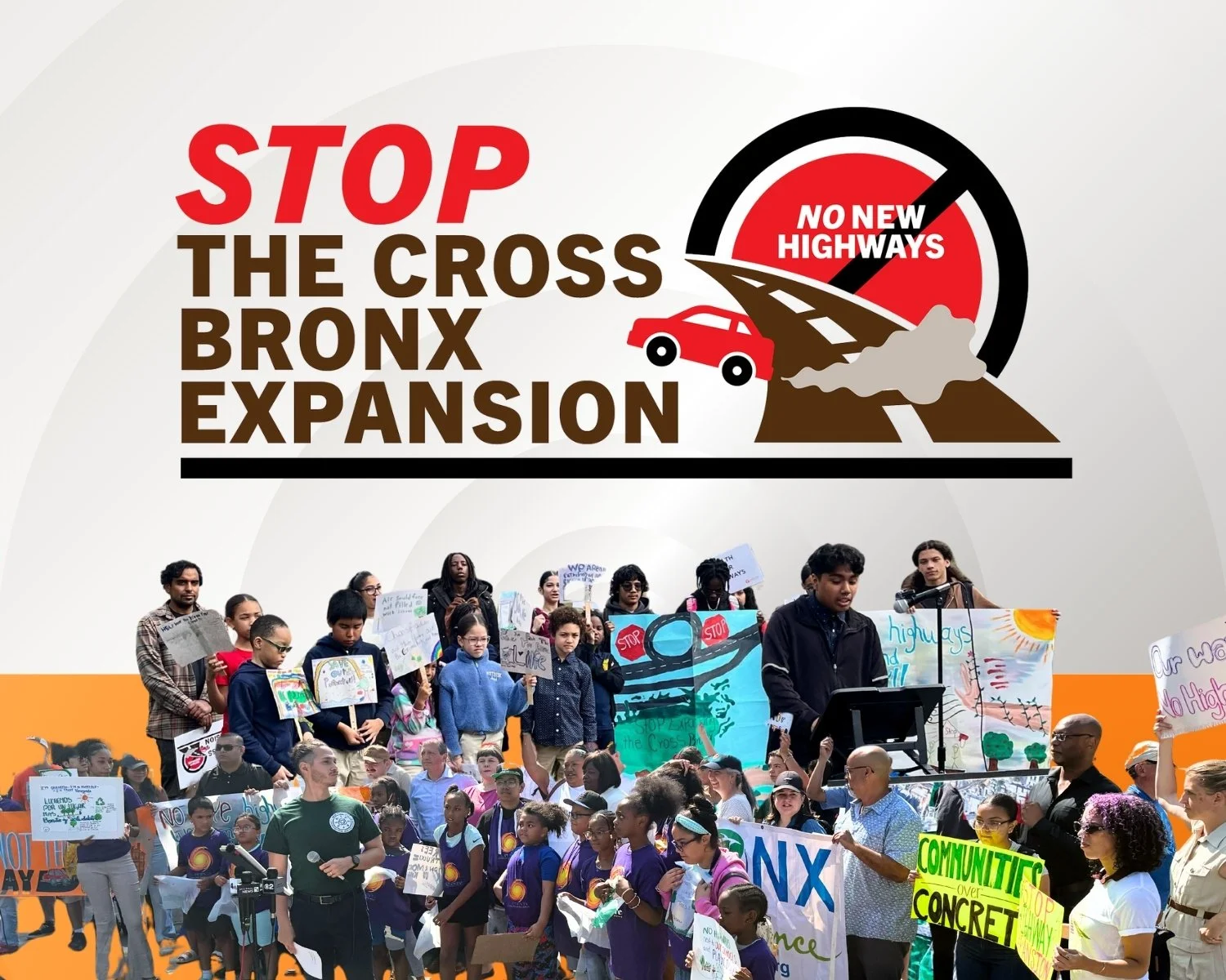
We need your help! Say NO to the Cross Bronx Expressway Expansion
The New York State Department of Transportation's proposed $900 million Cross Bronx "5 Bridges Project" would expand the expressway's footprint—we're calling on the state to repair the bridges without widening the highway. The public has until January 9th to submit comments or testify at a virtual hearing on December 10th at 5PM.