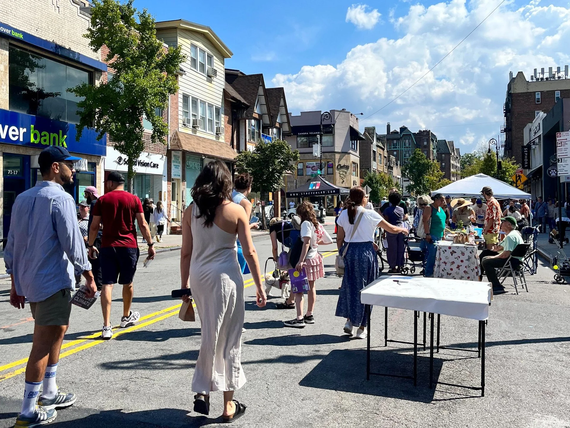
NYC's budget reflects what we care about. So let's fund School Streets for all!
School Streets close off traffic during the school day, creating calmer, safer blocks with less air pollution and more space for kids to learn and play. But the program relies on school staff to manually lift heavy barricades and navigate red tape. As Mayor Mamdani refines his first budget, dedicated School Streets funding could help the program grow equitably across the city, supporting staff and bringing safer streets to more schools.
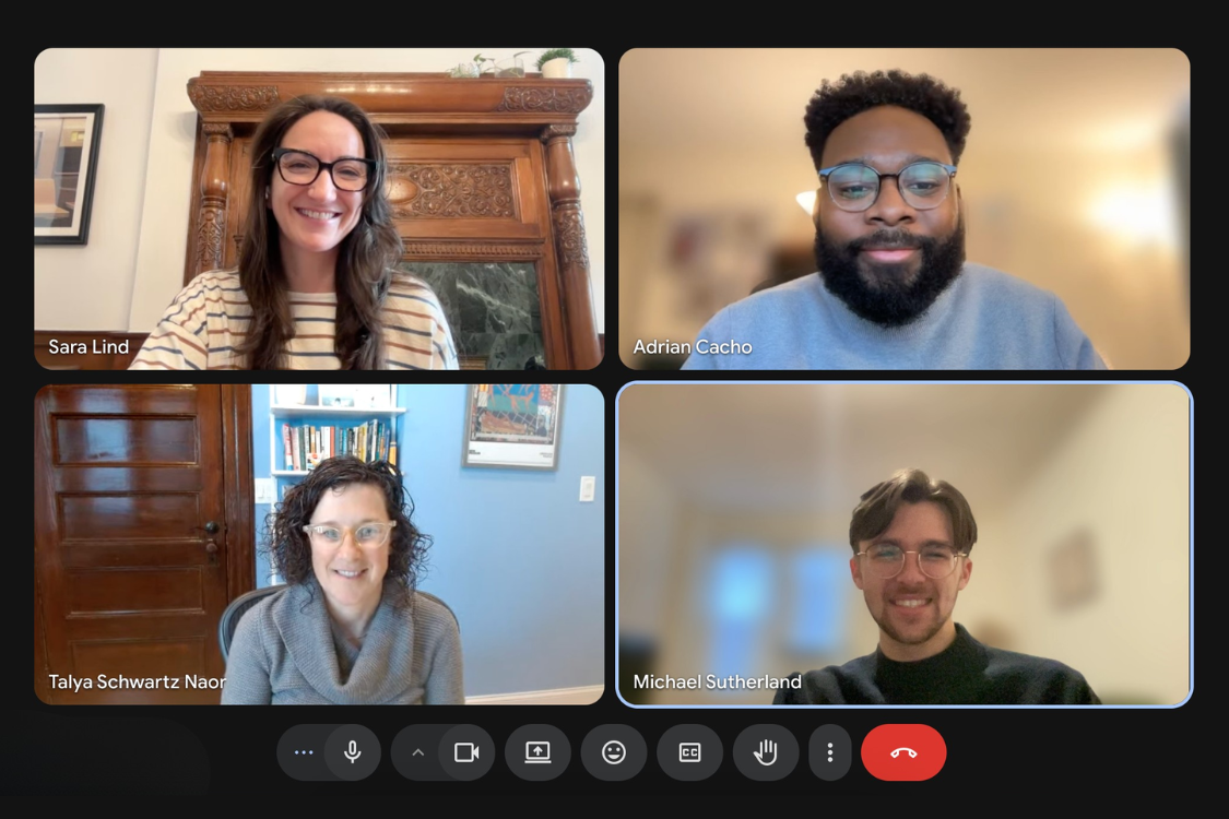
The snow cannot stop us!! ❄️ Virtual lobby day!
A blizzard kept the Open Plans team downstate, but our Albany advocacy continued virtually with meetings across a dozen legislators' offices. We discussed priorities including automated curb enforcement in New York City, a key policy that would make streets safer and more efficient for drivers, pedestrians, delivery workers, and cyclists by enforcing traffic laws at our curbs. Show your representatives you support better curbs by sending them a letter.
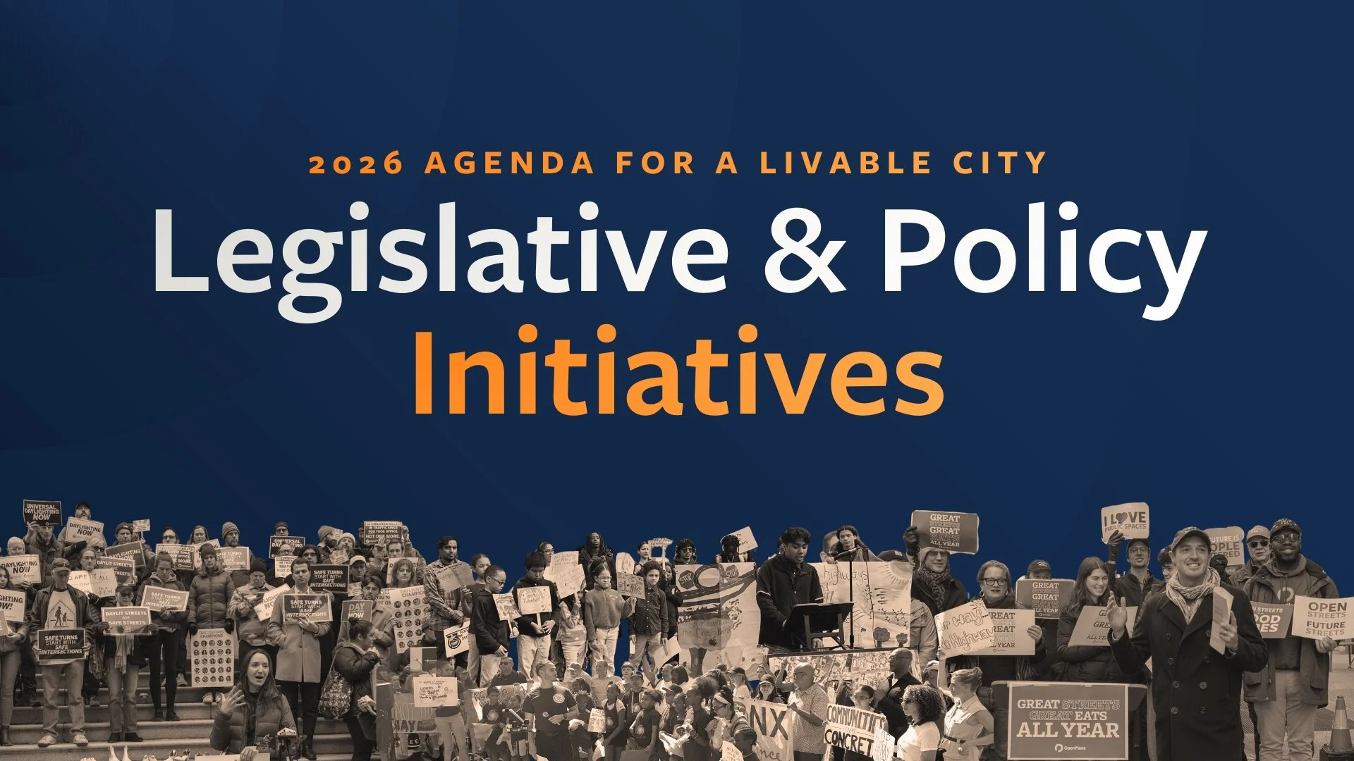
Open Plans' 2026 Agenda for a Livable City is out!
Our 2026 Agenda for a Livable City is here with policies to make New York's public spaces more vibrant and people-centered. Priorities include year-round outdoor dining for all businesses, automated curb enforcement, an equitable School Streets program with dedicated funding, and low-traffic neighborhood pilots in every borough—building on recent victories and reflecting progress made through sustained partnership across the city.
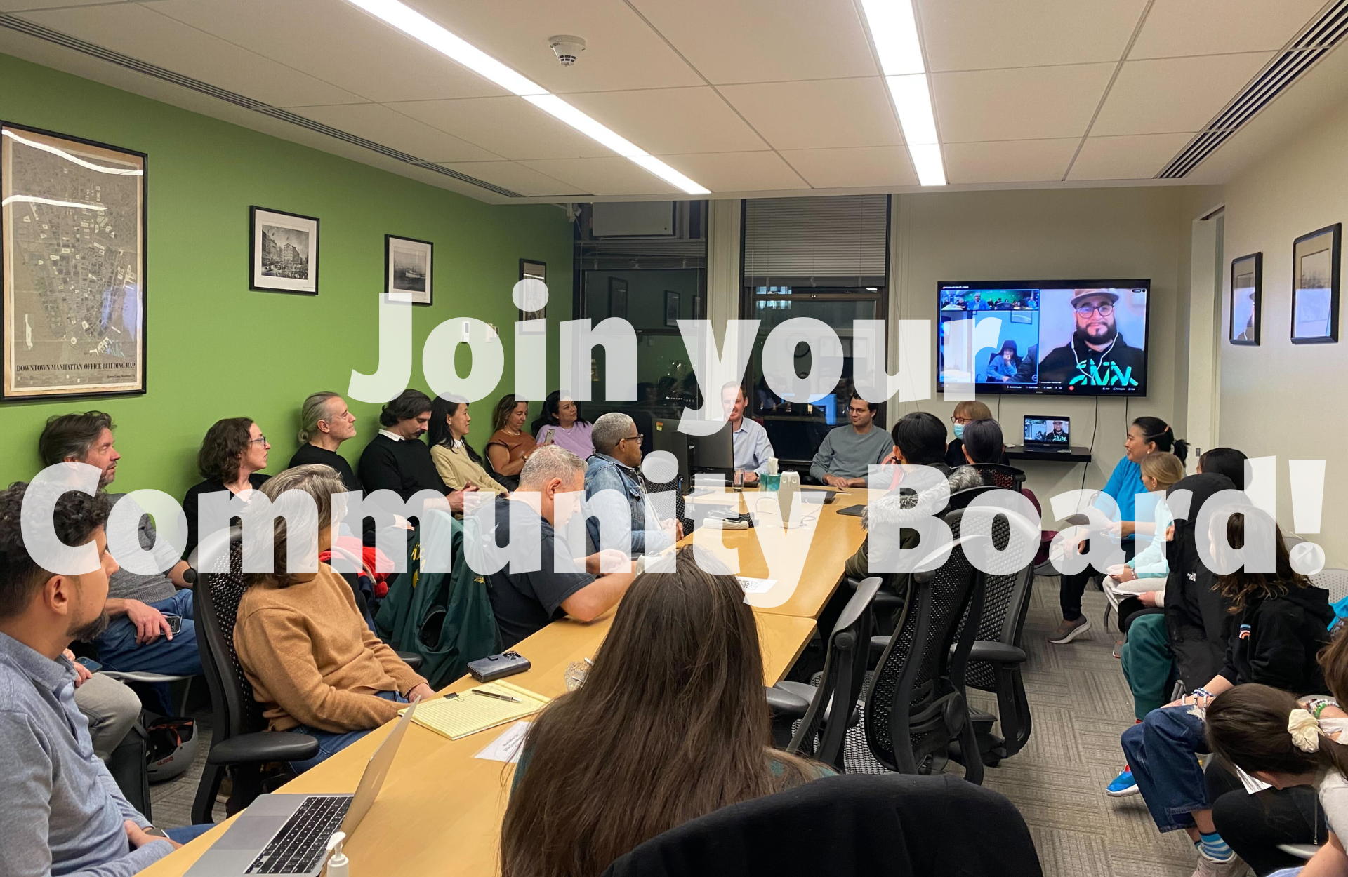
Want to make a difference? Start in your own community!
Community Board applications are open across New York City with deadlines approaching fast—Brooklyn (Feb 6), Queens (Feb 13), Manhattan (Feb 27), and Bronx (Mar 9). These local advisory boards give you the chance to hear from city agencies, weigh in on local initiatives, and advocate for your community. Join our webinar on January 29 or attend our Brooklyn and Queens social hours to learn more about the application process.
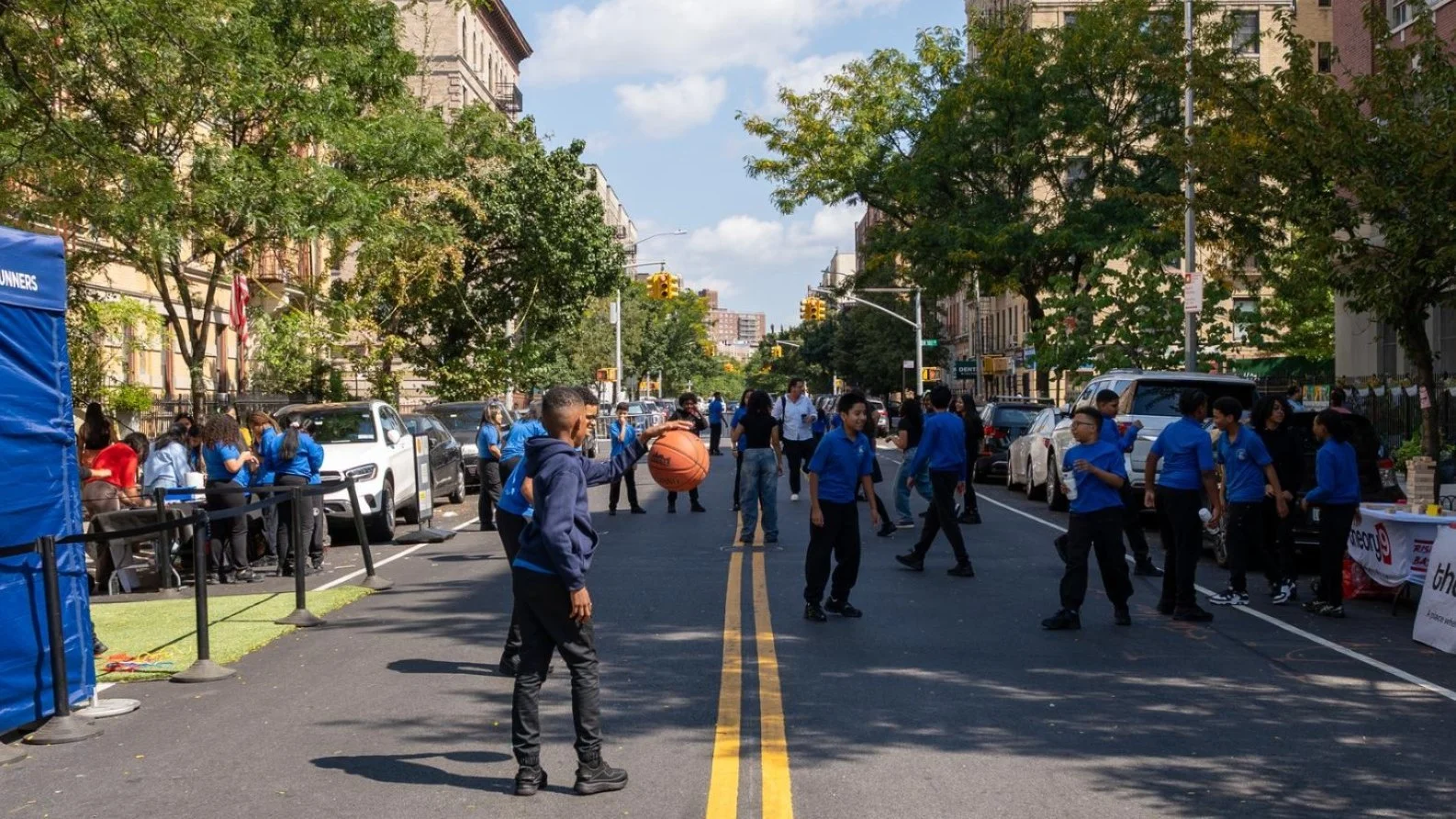
School's out in the streets!
Our new report "School's Out in the Streets!" offers a roadmap for expanding school streets citywide. Based on our work with partner schools, it shares best practices from three case studies and policy recommendations for the Mamdani administration's first 100 days—showing how permanent infrastructure, dedicated funding, and staffing support can transform this promising program into School Streets for All.
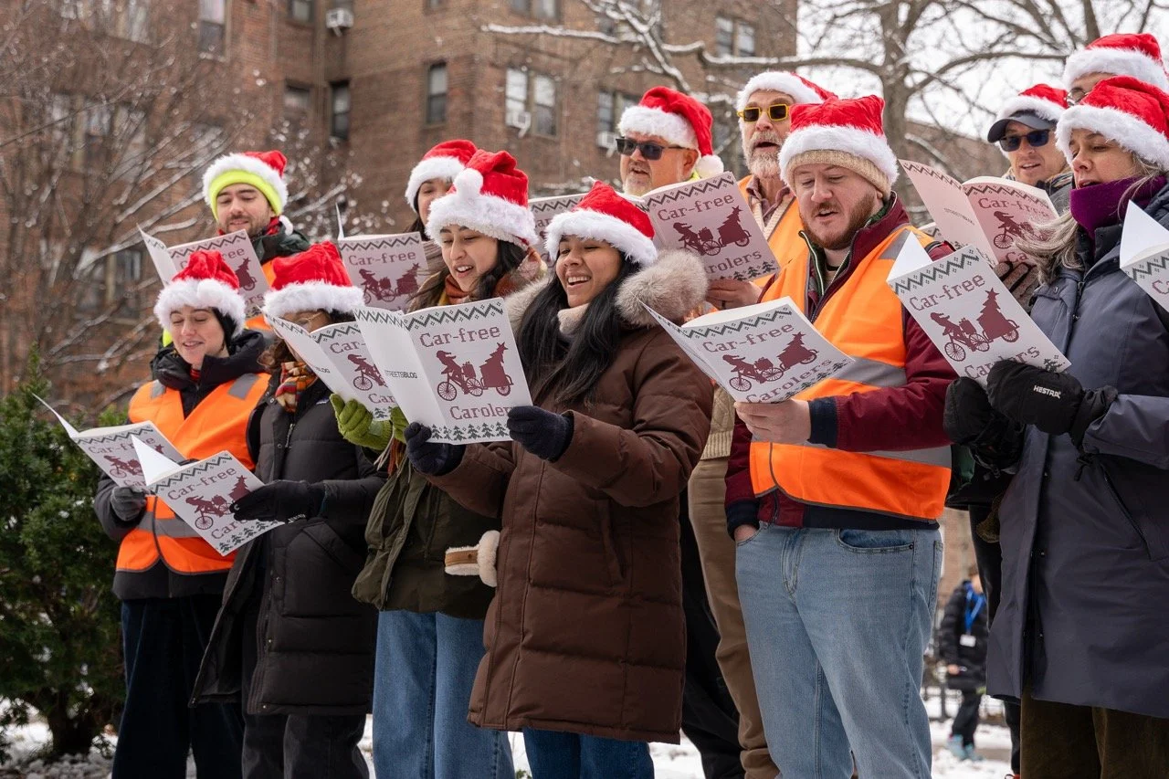
No Cars, Just Carols
The Car-Free Carolers returned to 34th Avenue Open Street in Jackson Heights on December 15th, transforming holiday classics into songs about safe streets and urban utopias. Using humor and music, the performers made a serious point: streets can become great places for people, not just traffic and tailpipes. Check out their performances that envision a car-free future.
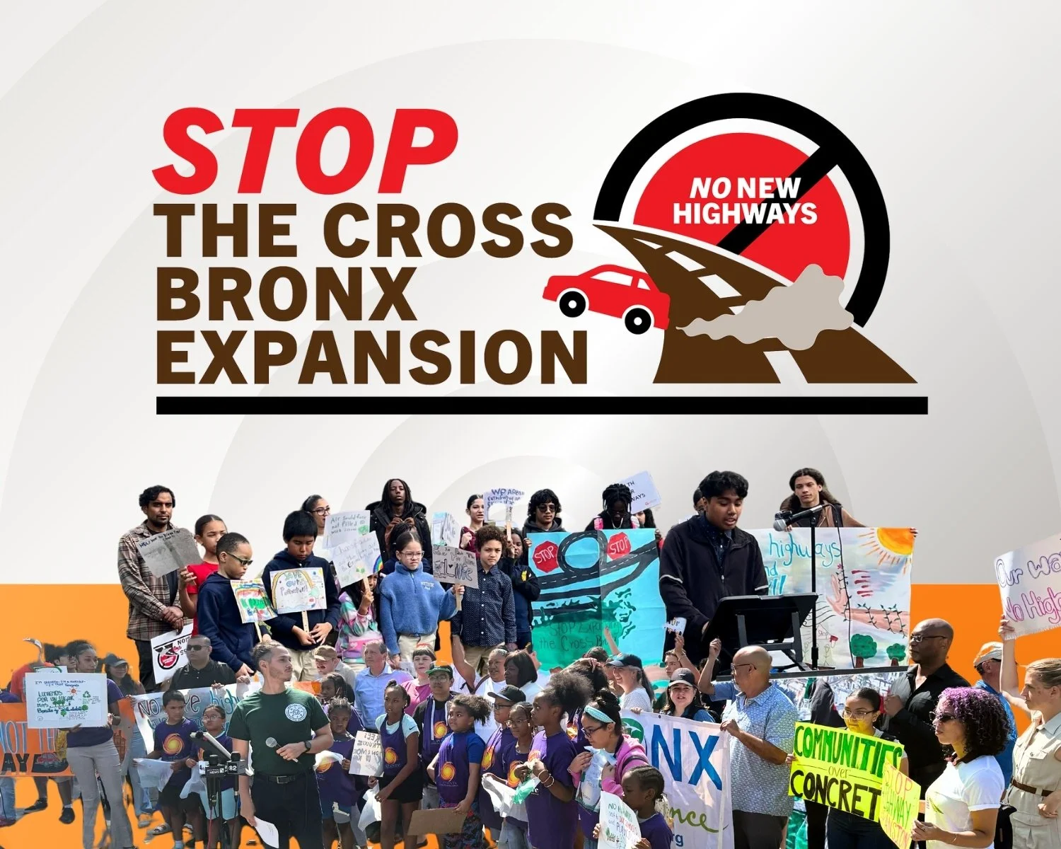
We need your help! Say NO to the Cross Bronx Expressway Expansion
The New York State Department of Transportation's proposed $900 million Cross Bronx "5 Bridges Project" would expand the expressway's footprint—we're calling on the state to repair the bridges without widening the highway. The public has until January 9th to submit comments or testify at a virtual hearing on December 10th at 5PM.

What kids see when they cross an NYC street
With just weeks left for City Council to pass universal daylighting legislation, we created a student-led video showing what crossing NYC streets looks like from a child's perspective. The contrast between daylighted and non-daylighted intersections makes it clear why this simple, low-cost street safety measure matters so much for our youngest New Yorkers. Plus: upcoming events on VMT reduction, Donald Shoup's parking reforms, and how to save NYC street fairs.

🗳️ NYC voted for change. Here's what New Yorkers really want for their streets
New Yorkers across every demographic support safer streets, even if it means removing parking. With 65% of city travel already sustainable, residents want the change. As Mayor-elect Mamdani signals support for livable streets, momentum builds. In other news, the Universal Daylighting bill now has 26 co-sponsors but needs Speaker Adams to schedule a vote before session ends. Join the phonebank November 6 or rally at City Hall November 12 to push this across the finish line.
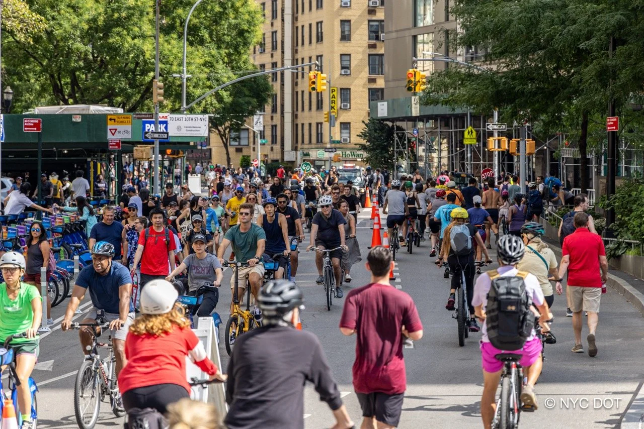
Majority of New Yorkers Want Streets for People, Not Cars
The vast majority of NYC residents want safer, quieter neighborhoods with streets that prioritize people over cars. Survey data shows overwhelming support across all demographics for transforming streets so kids can safely bike to school, even if it means removing parking and slowing traffic. Nearly 65% of all travel by New Yorkers is sustainable, and residents want more greenery, outdoor dining, and safety infrastructure. The biggest obstacle isn't public opinion—it's political will.

Reducing VMT will get us the safer, cleaner, quieter streets that we all seek
NYC traffic has gotten worse—the data proves it. Vehicle Miles Traveled increased 16% between 2014 and 2023, with private driving making up 80% of VMT. Our new report "Hit the Brakes" calls on DOT to reduce VMT by 40% by 2035 through proven strategies like Bus Rapid Transit, Low Traffic Neighborhoods, expanded congestion pricing, and eliminating policies that encourage driving. It's time to align our priorities with tangible goals for safer, cleaner streets.

Call Speaker Adams: Bring Universal Daylighting to a Vote
It's time to bring Universal Daylighting to a vote. Int. 1138 would daylight every NYC intersection to improve visibility and save lives, backed by 23 community boards, 170+ organizations, and 90+ elected officials. But Council Member Gale Brewer quietly removed her name from the bill despite all three of her community boards supporting it. We're calling on Speaker Adrienne Adams to demonstrate real leadership by bringing this proven safety measure to the floor for a vote.
What happens when Austin Street slows down
Austin Street came alive last weekend with the first-ever Austin Day block party, showing what's possible when community comes together! Open Plans supported Neighbors for a Safer Austin Street through brainstorming, site visits, and navigating the Open Streets permit process. Families enjoyed music, kids played street safety games, and neighbors experienced their bustling Central Queens street at a slower, more human pace.

Two years later, how's DOT's curb plan going? 🚧
Two years after DOT released their Curb Management Action Plan, we're checking in on progress. The city has added 3,000 loading zones and launched a Smart Curbs pilot on the Upper West Side, but political interference and enforcement challenges remain. Our streets hold enormous potential beyond free parking - for loading zones, public space, outdoor dining, and flood mitigation. Here's what's working, what needs improvement, and how we can keep pushing for the curbs and city we deserve.
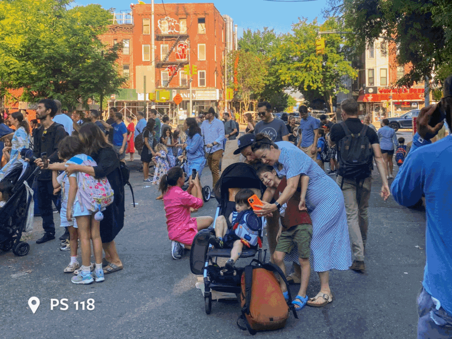
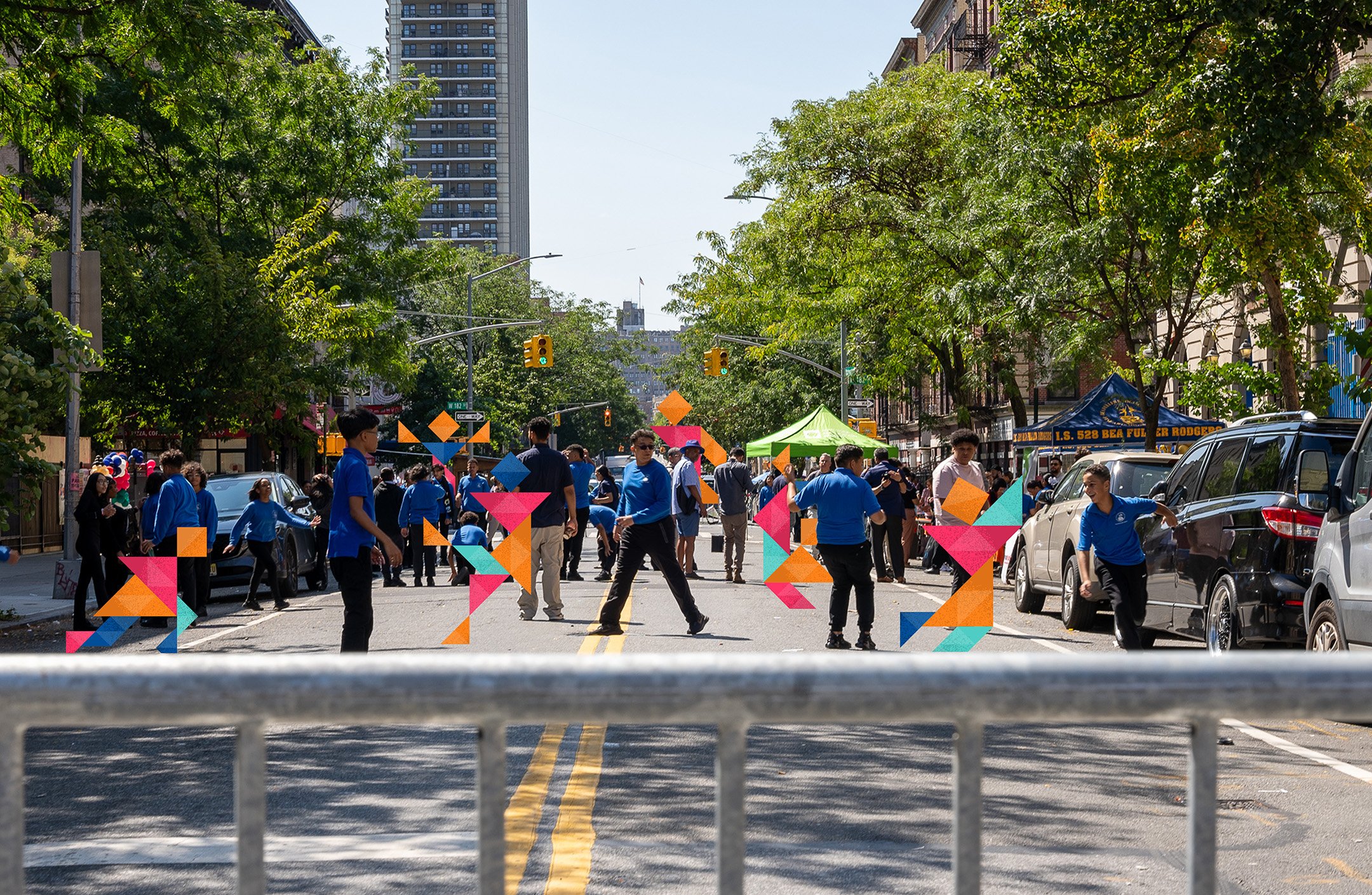
What does "Back to School" mean to you? 📚🍎
As NYC public schools start September 4th, we asked friends of the Open Plans community to share their hopes for the new school year. Teachers, parents, and coordinators are excited about creating safer environments during arrival and dismissal, building community connections through block parties and events, and expanding opportunities for students to learn and celebrate together. We're looking forward to helping even more schools apply for school streets this year.